

The incredible beauty of these mountains filled me with awe and wonder. These mountains have been here for 70 million years. I realized that I was a just a mere blip in time compared to the timelessness of these mountains. Understanding my existence was just a brief moment in geological time humbled me. I felt very grateful to stand among the grandeur of these mountains.
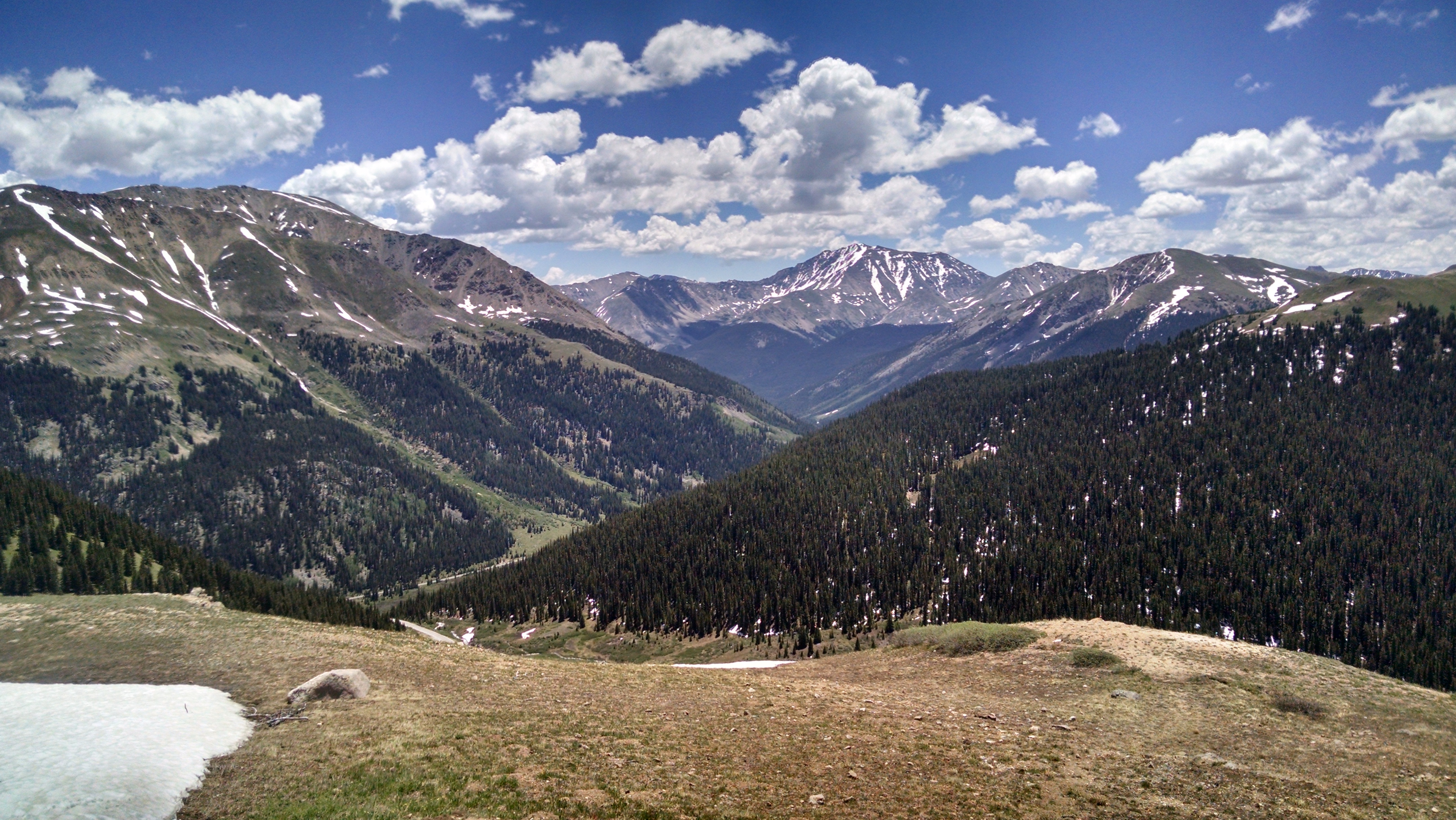
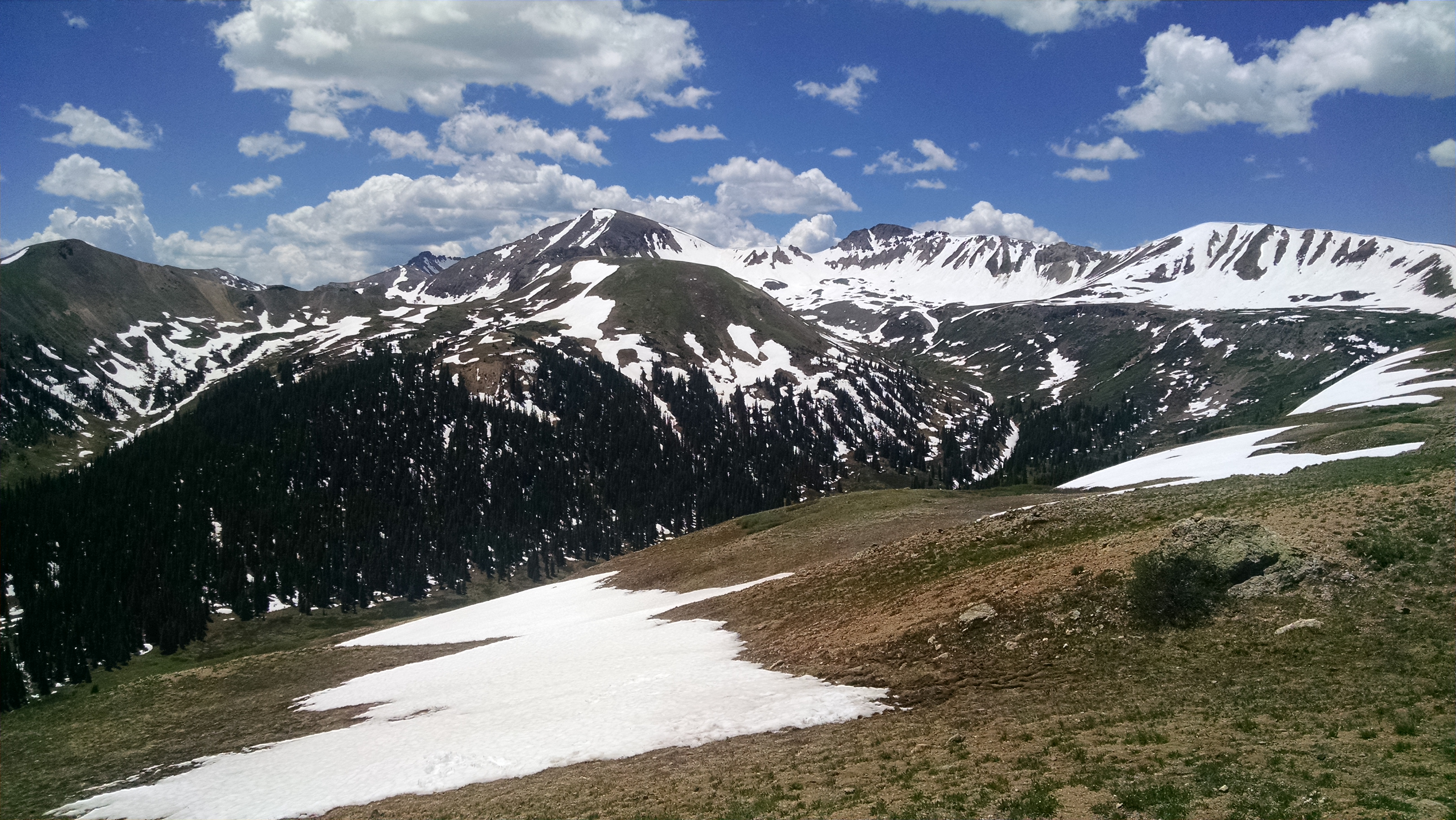
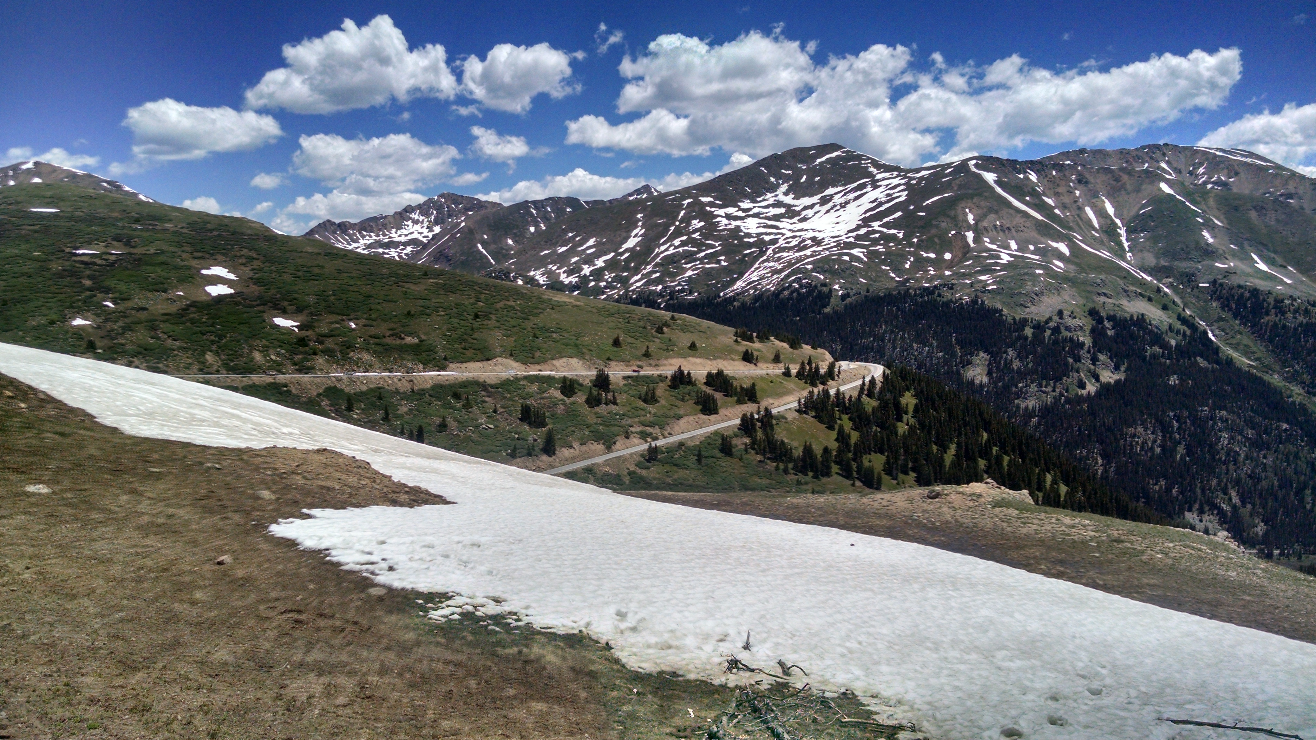
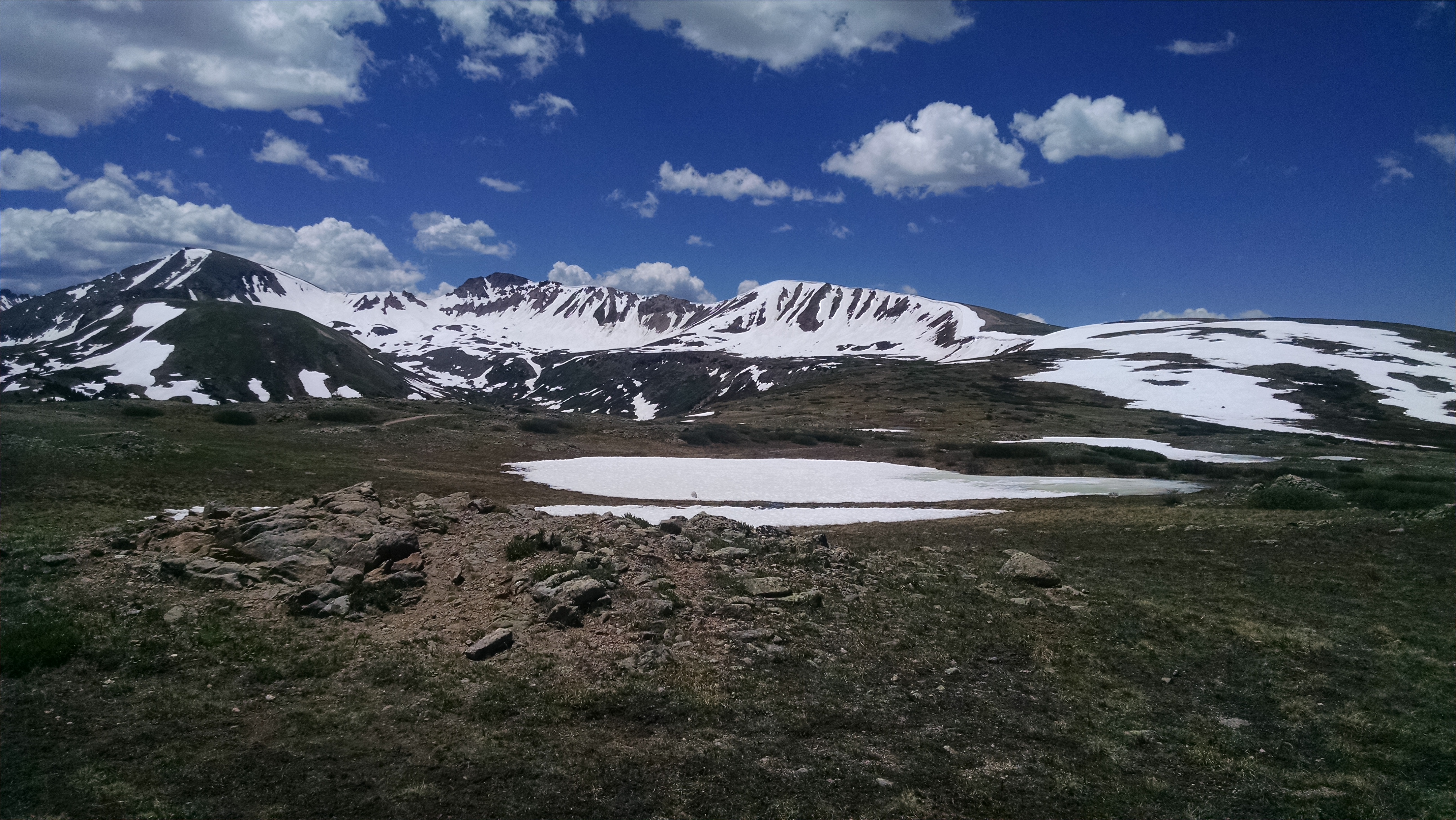
Independence Pass (12,095 ft) is one of the highest paved passes in Colorado. All around us were higher mountains even though we were already over 12,000 feet above sea level. Colorado highway 82 is usually open for only about six months of the year. Some of the clouds were near eye level. Feeling I could reach out and touch the wisps of clouds gave me the sensation I was only a few steps away from the heavens.
The treeline is 1,000 feet below Independence Pass. The windswept landscape around the pass is alpine tundra. The growing season here is only two weeks in duration. Independence Pass is the second highest elevation I’ve experienced. The highest elevation I’ve experienced was when I cycled up Trail Ridge Road back in 1999, 12,183 feet above sea level.
The percentage of oxygen is the same at sea level as it is at high altitudes, about 21%. Air molecules at high altitudes are just more widely dispersed. Each breath delivers less oxygen to the body. A breath at 12,000 feet delivers 40% less oxygen to the body than at sea level.
I saw only one cyclist ascending from the east side, the same way we drove. I don’t think I would want to try that ascent. While descending on the west side, I saw several cyclists climbing the pass. The increased number of cyclists on the west side of the pass is probably due to being near Aspen. The west side ascent also looked not quite as difficult as the east side. While descending the west side, I pulled over to the side of the road so a cyclist could pass me. Cyclists are able to descend the pass faster than an automobile because of the very narrow and twisting and winding road. At the bottom of the descent, I saw the cyclist I pulled over for. He recognized my forest green truck and looked at me and gave a nod of his cap thanking me for pulling over. Perhaps only a cyclist would pull over their vehicle so a cyclist would be able to pass. Independence Pass would be a great pass to ascend on the 4th of July.
We drove from Leadville up to Independence Pass from the east side. The highest mountain in Colorado, Mt. Elbert (14,443 ft) rose dramatically to our right while on our way to Independence Pass. After reaching the pass, we descended into Aspen, and continued to Glenwood Springs. Exhausted from the mountain driving, I turned the steering wheel over to Gary near Glenwood Springs. Gary drove the last 100 miles through Glenwood Canyon, past Vail, over Vail Pass and back into Frisco. I did my best to stay awake through Glenwood Canyon. The drive through Glenwood Canyon is spectacular, but I only have a vague recollection of the scenery. Today truly was an extraordinary day.
On my first colorado trip, we left from aspen and went up independence pass….long climb. The decent was pretty amazing. I was a max thrill seeker then, so passed cars frequently. Lots of pot holes, and road with no shoulder, no guard rail, and hundreds of feet of drop onto rock if you went off. I can remember repeating to myself over and over “find the perfect line”. That night the tour operator told us he would never take a group over that pass again, because it is too dangerous and that he had been crazy when he specked it onto the route. Your trip brings back lots of great memories for me. Thanks, Jim
Jim, I remember you telling me about Independence Pass. I would not want to ride on the east side of that pass, either up or down. The drop off was just too sheer and far, I didn’t even feel comfortable driving it in a car and I was on the inside. Riding down there would be very dangerous. The west side seemed a lot more doable and safer.